Celebrating a Century of Ocean Mapping: The International Hydrographic Review Marks 120 Years of GEBCO
Article from Issue 29(2): Editorial Perspective
This year, the International Hydrographic Review (IHR) is celebrating a significant milestone — its centenary. As it enters its 29th volume, the IHR is honouring the 120-year legacy of the General Bathymetric Chart of the Oceans (GEBCO), a programme that has revolutionised our understanding of the world's oceans.
Origins and Historical Context
The origins of GEBCO can be traced back to the pioneering work of Prince Albert I of Monaco, who embarked on oceanographic expeditions in the late 19th and early 20th centuries. His efforts led to the creation of the world's first bathymetric chart. Prince Albert I's visionary commitment to mapping the seafloor established the foundation for systematic, scientific exploration of submarine topography.
GEBCO itself began in 1903 as an international collaborative effort under the auspices of the International Hydrographic Organization (IHO) and later, the Intergovernmental Oceanographic Commission (IOC) of UNESCO. The programme's initial goal was to standardise and synthesise bathymetric data collected from voyages worldwide, recognising the global nature of oceanographic research and the need for accurate, unified maps of the seabed.
Scientific Significance and Evolution
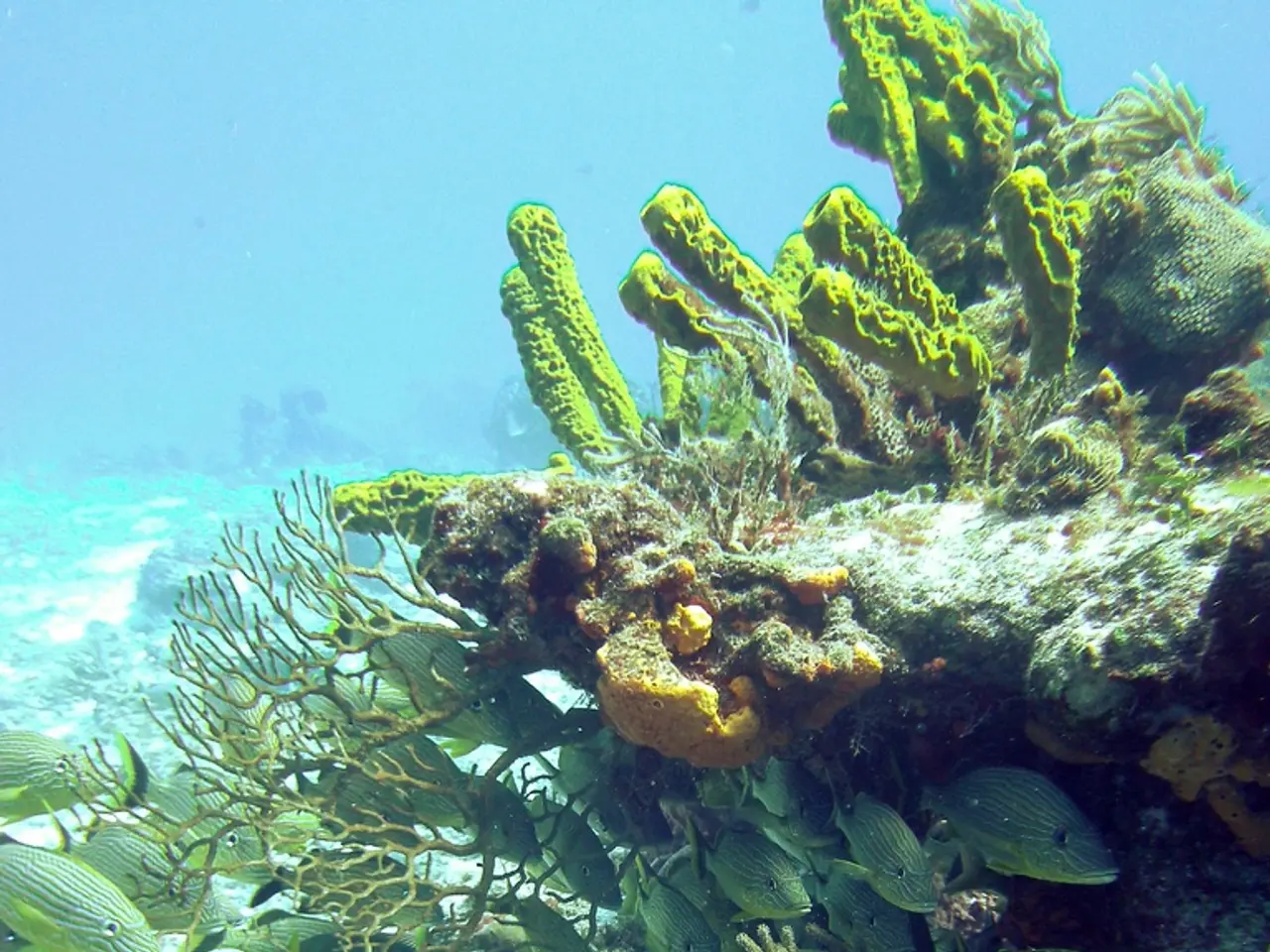
For nearly 120 years, GEBCO has been instrumental in advancing global ocean science. By providing the first standardised, comprehensive charts of the global seafloor, GEBCO enabled scientists to visualise and analyse submarine features such as mid-ocean ridges, trenches, and abyssal plains. The programme has supported discoveries in plate tectonics, sedimentation, and the identification of underwater volcanoes and hydrothermal vents.
GEBCO has also exemplified international cooperation, bringing together hydrographers, oceanographers, and marine geologists from around the world to pool data and expertise. From its inception, GEBCO has been a symbol of global science collaboration.
Modern Advances and Contributions
In recent decades, GEBCO has transitioned from manual charting to digital grids, leveraging advances in satellite technology, multibeam sonar, and autonomous vehicles to achieve ever-higher resolution. The programme is a cornerstone of the ambitious Seabed 2030 initiative, which aims to map the entire ocean floor by 2030 using contributions from a global network of institutions and projects.
GEBCO’s data are now crucial not only for science but also for practical applications such as navigation safety, climate and ecosystem modeling, and resource management.
Global Impact and Legacy
GEBCO’s 120-year legacy is one of sustained international collaboration, scientific rigour, and technological adaptation. Its bathymetric charts and digital grids are foundational datasets referenced in thousands of research papers and policy documents. The programme’s ongoing evolution — from pencil-and-paper charts to open-access digital platforms — mirrors the broader transformation of ocean science in the 20th and 21st centuries.
Today, GEBCO remains a symbol of the enduring importance of mapping the “last frontier” on Earth, underpinning both fundamental research and practical efforts to understand, protect, and sustainably manage the global ocean.
Current Issue Highlights
The current issue of the IHR contains 12 scientific peer-reviewed articles, 12 notes (technical reports), and two contributions of general information from various fields related to hydrography. This issue also includes three articles on the importance of marine geospatial data for the law of the sea.
Other articles in this issue focus on topics such as satellite LiDAR methods to enhance coastal bathymetry coverage, wreck investigations in shallow waters using multibeam echosounder data, techniques for the extraction and processing of sea surface salinity from satellite data, and the implementation of Marine Spatial Data Infrastructure.
The centenary celebration includes a special Jubilee Issue and a presentation at the 3 Assembly of the International Hydrographic Organization (IHO) in Monaco in May 2023.
Looking Forward
As we celebrate the centenary of GEBCO, we also look forward to its future. The programme continues to evolve, adapting to new technologies and advancing our understanding of the oceans. With the challenges posed by climate change, GEBCO's contribution to global ocean science is more crucial than ever.
References: [1] GEBCO (2023). About GEBCO. Retrieved from https://www.gebco.net/about-gebco [2] GEBCO (2023). History. Retrieved from https://www.gebco.net/history [3] International Hydrographic Review (2023). Current Issue. Retrieved from https://www.iho.int/publications/ihr/Pages/current-issue.aspx [4] UNESCO (2023). Intergovernmental Oceanographic Commission. Retrieved from https://en.unesco.org/ioc [5] IHO (2023). About the IHO. Retrieved from https://www.iho.int/about-iho/Pages/default.aspx
- The International Hydrographic Review's centennial celebration is a testament to the significant impact of marine spatial data, such as that collected by GEBCO, on our understanding of the world's oceans.
- Hydrographic surveys and ocean mapping, pioneered by Prince Albert I of Monaco, have played a pivotal role in advancing scientific understanding in the field of environmental science, particularly climate-change research.
- As we move towards a future shaped by data-and-cloud-computing and technology, the importance of programs like GEBCO, which have contributed to ocean mapping, becomes increasingly evident in lifestyle improvements, navigation safety, and resource management.
- The ongoing evolution of GEBCO, from manual charting to digital grids, has been propelled by advancements in technology, such as satellite technology, multibeam sonar, and autonomous vehicles, making travel across our oceanic landscapes safer and more intuitive.
- Today, GEBCO's contribution to ocean science is more crucial than ever, as it addresses the challenges posed by climate change by providing essential marine geospatial data that informs policy, research, and sustainable environmental practices.


%3A%20Editorial%20Perspective)